
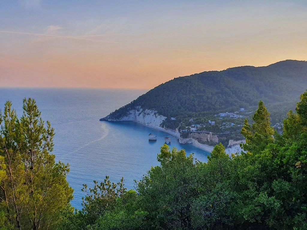
The sea stacks of Baia delle Zagare
Also known as Baia dei Mergoli, this bay is recognised by its two sea stacks and natural arch. Begin at accessible viewpoints. Before descending to the beach, ask Mattinata’s tourist information office about access and any required passes. The panoramic trail does not guarantee entry to the bay.
Open in Google Maps ↗Mattinata · InfoPoint · Official information ↗The Sentiero dell’Amore
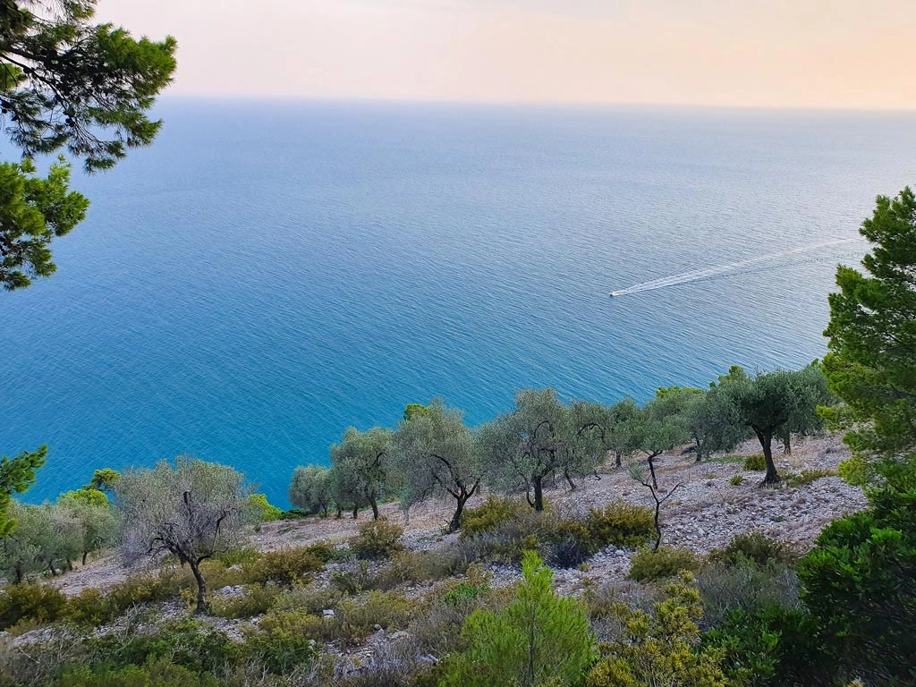
The Mergoli–Vignanotica route winds through pines and Mediterranean scrub, revealing views of the sea and Baia delle Zagare. Follow the marked path, check its condition and plan to return before dark. Bring water and suitable walking shoes.
Open in Google Maps ↗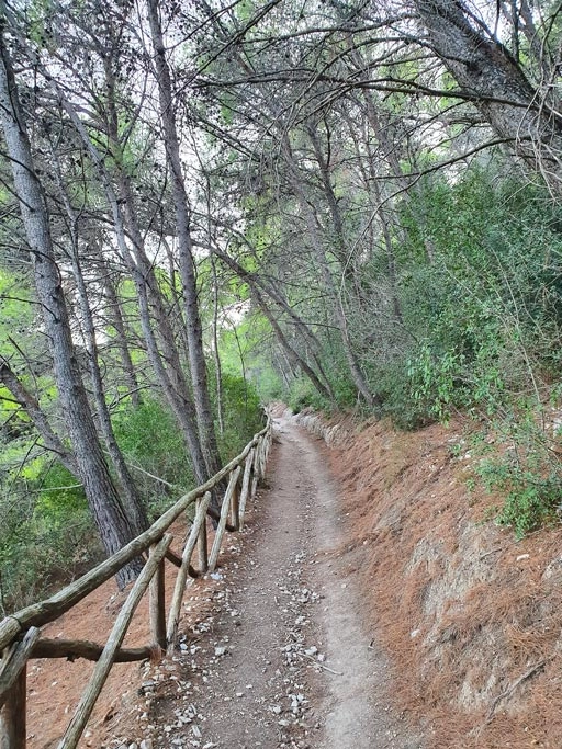
Vignanotica beach
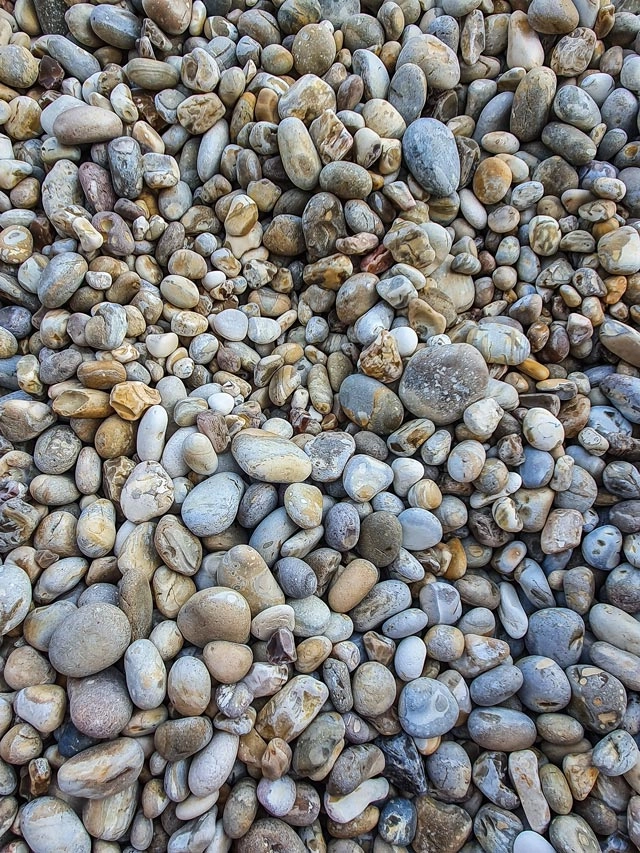
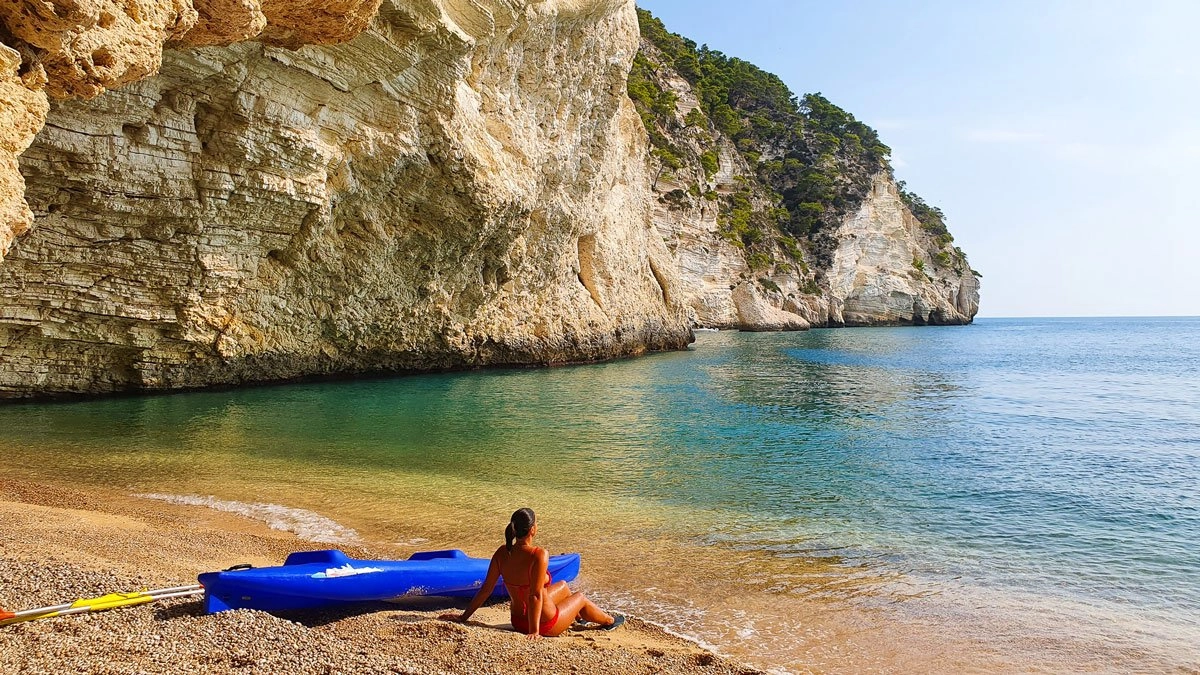
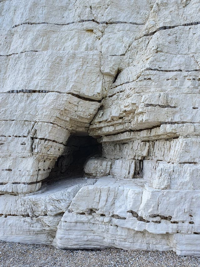
Small pebbles, clear water and tall white cliffs define Vignanotica. Follow local signs from the coastal road to the parking area, then walk down via permitted paths. Enjoy swimming and, in calm water, snorkelling. Respect closed areas and do not settle beneath the cliffs.
Open in Google Maps ↗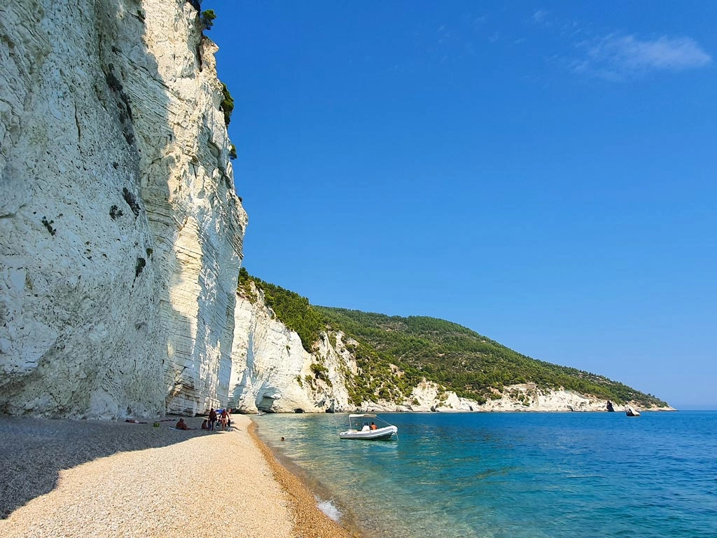
The coast by kayak
A coastal outing offers another view of natural arches and sea caves. Ask locally about rentals and guided trips. Choose suitable sea conditions, wear a life jacket and follow operators’ advice. Cave access depends on conditions and local restrictions.
Open in Google Maps ↗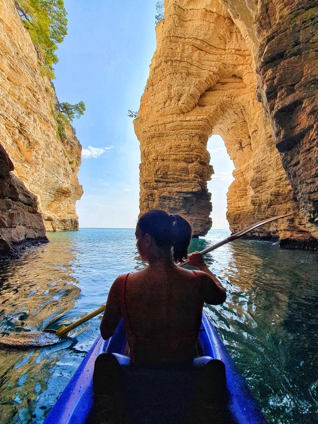
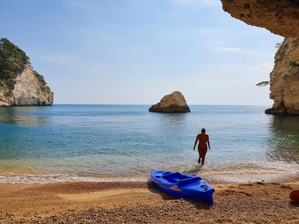
BAIA DELLE ZAGARE
A break in nature
Bring water, sun protection and a snack, and check seasonal facilities before you go. Mobile coverage may be limited: save maps and essential information in advance, then enjoy some time away from your screen.
BEFORE YOU GO
Getting there and planning your visit
Plan a car excursion from Bari, allowing time for both journeys. Follow the SP53 coastal road between Mattinata and Vieste and local signs for Vignanotica. Winding roads and the final walk call for an unhurried visit. Check access, parking and weather beforehand. For a longer stay, Camping Vignanotica offers pitches and apartments; see its website for availability and facilities.